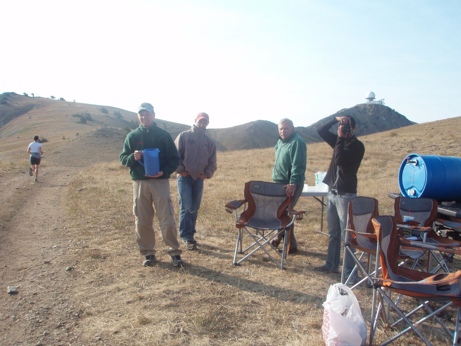
Here are a couple of the "basic" aid stations from Pinhoti.

I think this is Aid Station #1 at miles 6.7

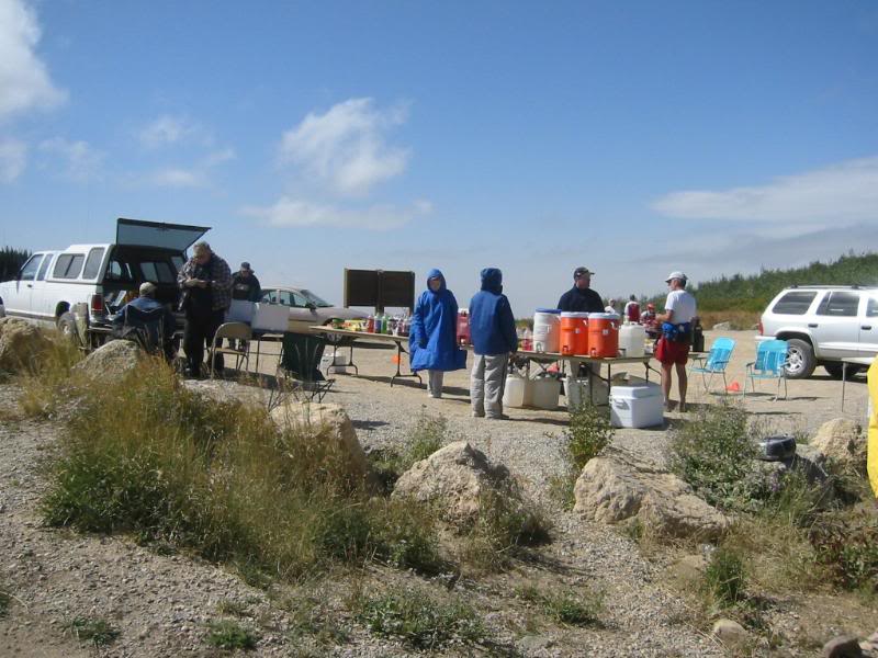
Some of the aid stations at Wasatch were just as basic as you will see below. Again, most pictures are from Chihping Fu of Fremont, California. I did get his approval to use them. Thank you, Chihping. He is running the Bear 100 this year, which I had planned on running until Saturday. I received an email from The Tahoe Rim Trail 100 that slots had been added and everyone on the waiting list could register. I registered immediately.
At Wasatch, Most of the aid stations are very hard to reach. Some, like Grobbin's, Swallow Rock and Pot Bottom require serious four wheel drive vehicles. Rock Springs requires carrying everything in, along a miserable and very steep 2 mile long ATV trail. Almost all are very remote and require a drive up 8 or 10 miles of steep, dirt roads.
Aid Station #1 Grobbin's Corner at mile 13.35

Aid Station #2 Francis Peak, mile 18.76.
Bountiful B Aid Station, mile 24.

Another shot of Bountiful.

Swallow Rock Aid Station at mile 34.9.

Alexander Springs Aid Station, Mile 47.4. Almost half way. That is I 80 in the background and the location of Lamb's Canyon aid station. The mountains in the background are the peaks above Park City and where we are headed.

Big Mountain Aid Station, mile 39.4. Marye Jo was there waiting on me.

This is Pole Line Pass Aid Station located at mile 83.4.

Rock Springs, mile 87.3as it looked when I arrived. Remember, everything had to be carried in from two miles and about 1,000 feet below.
The next post I will show some of the other extreme.
No comments:
Post a Comment