The End – Hardrock 100, Starting at the end.
Sometime in the late morning of
early afternoon of July 12th I topped the ridge of Grouse/American Pass at 13,
020 ft. and 60.9 miles into the Hardrock 100. I was feeling good and knew I had
a good chance to finish. As I came over the ridge however, I looked 1.4 miles
straight across the basin to Handies Peak, the 14,048 ft. high point of the
Hardrock Course. The summit of Handies is my next destination, 2.8 miles away by trail. I was very
concerned to see a large storm sitting over the north shoulder of Handies and
it was starting to rain and is always the case at that elevation, sleet on me. I headed down off the ridge as quickly as
possible but it began raining harder as I descended. I reached some large rocks
and stopped to take off my pack, untied the rain jacket from my waste, put the jacket on,
replaced the pack and again started down. Just a minute or two later I saw a
bright flash and knew lightning had struck somewhere near the peak. I was
heading into a large open basin with lots of snow fields so I returned to the
rocks, again took of my pack and dug around until I found my poncho. I put the
pack back on, pulled the poncho over my head and sat down to wait out the
storm. After 15 minutes of so I realized the storm was slowly moving of the
northwest so I took of the poncho and continued the descent into the basin.
Looking west back down Grouse/American Pass toward Grouse
Aid Station about 2.5 miles below.


The trail drops down about 700 feet then crosses the basin
to the steep western side of Handies.
The skies to the east had looked threatening ever since the first storm
moved off and there was light rain falling again. As I started up western slope the wind picked
up significantly, it became darker and much colder and it started raining and
sleeting. I continued up a couple of
switchbacks when I noticed people running down the trail toward me. The basin is far above timberline so you can
see for miles in all directions except east where the storm was
developing. The mountain slopes up at
about a 55% angle so all I can see were the clouds flying over the ridge
several hundred feet above me. I
continued up until I met the first group of people running down. They said it looked like a very bad storm was
building to the east and moving this direction.
I decided it was time to take caver again except the side of the slope
was devoid of any shelter. I continued
up the trail to the next switchback and climbed into a 3 foot deep gully with a
few suitcase size rocks in it. Again I
removed the pack and dug out the poncho.
By now it was getting pretty unpleasant so I used the poncho
like a tent and pulled my arms and legs under it. I sat down and made a mental note of the time
and figured I still had time to reach the next aid station, Sherman, before the
cutoff if this storm moved off as quickly as the last. As I sat there trying to keep
the rain and wind out from under the poncho I watched 3 or 4 groups of hikers
that had come down from Handies, climb up and over Grouse/American Pass. I was concerned as
they started over the pass because they were again upon a ridge and lightning
strikes ridges. I was just a bit jealous too. They were on their way down the mountain out
of this mess and thought I probably should have followed them down. As I kept checking the time and realized my
chances of making the next cutoff were rapidly vanishing. At some point I decided I was going to wait
out the storm if it took hours. I wanted
to go over Handies if I had to sit there until dark. After all, I had my headlamp and flashlight
with me.
After sitting there 45 minute the rain began to let up and
it started getting lighter. I hadn't
seen any lightning for a while so I decided it was time to see what was
happening on the other side of the mountain.
I stood up, leaving the poncho on this time, grabbed my trekking poles and
started up again. I was still 800 ft.
below the summit and the trail became very steep the last 450 ft. As I reached the ridge where the trail turned
straight up to the summit, I could now see to the east and it appeared I was in
a gap between storms so I decided to make a quick dash for the top. (At 14,000 ft. my quick dash was anything but
quick.)
I was at 63.7 miles and at the high point in the race, Handie's Peak at 14,048 ft. At the top I took the time to get a few
pictures and videos then headed down the extremely steep descent toward the
next aid station at mile 71.9, 8.2 miles away. At the time, I didn't know
exactly how far I had to go but I was sure I could not make the cutoff. Just in case, I really pushed heading down
the steep sections. I didn't think I
would ever reach timberline 2,200 feet and 2 miles below the summit. When I
final reached Burrows Park with 4 miles to go and less than 40 minutes I gave
up and told the aid station people I would withdraw so they could pack up and
go home. If I stayed in the race all the
way to Sherman everyone would have to wait another hour for absolutely no
reason. (Hardrock aid station
rules.) My race came to an end 28.6
miles short of the finish.
Looking across the Basin from the top of Handies. The trail
entered the basin at the far right and dropped down to the grassy area, lower
right and then up near the lake at center before climbing to ridge on the lower
left. You can see why I didn't hang around the summit of Handie's very long!

This is looking down the way I am headed to Sherman. I was hoping the storm straight ahead stays
away until I can get off the mountain.
It did.

Upon returning to Silverton that afternoon I learn two
hikers had been killed and several others injured by lightning in Rocky
Mountain National Park, one on Friday and one on Saturday. After arriving home I read an article about
one of the lead runners and his pacer having a near miss on Handies when
lightning struck the top of the mountain while they were on top. The lightning hit close enough to blow out
Adam Campbell’s headlamp. Unshaken by
the incident, Andy went on to finish third. I only hope it doesn't take 5 years
to get in again!
The Beginning – Silverton to Telluride
This may be a convoluted way to write a race report , starting at the end, then doing the beginning, but
somehow it seems to fall in the order of significance.
I learned two new things about the HRH that I didn't realize despite coming up here for 5 years and spending a lot of time on the course. First, the sheer length of the descents is
hard to comprehend and seem a bit overwhelming. You must really hurry down or run down miles of, in some cases, extremely technical, steep terrain. (It is much like going down the Blue Trail at Oak Mtn, where you drop off the ridge near Kings Chair, but instead of taking a minute or two to get down takes 2 or 3 hours.) I have hiked up plenty
of mountains in the San Juan’s so the climbs were no surprise. The descents were much more demanding than I had expected. Second, the stream and bog
crossing are continuous. My feet were
never dry after Mineral Creek at mile 2 with the exception of a few miles after
Ouray Where I changed shoes and socks.
The Race
I woke up at 3:50 AM just before my alarm went off as I
frequently do. We were staying in a very old hotel called the Grand Imperial
Hotel in downtown Silverton. I am sure
it was an elegant in its day and is still nicely maintained, considering. I got
dressed for the race and went downstairs to “Grumpie’s,” the restaurant on the
ground floor for breakfast. Grumpie’s opened at 4:30 AM race morning with a full breakfast
buffet and I ate a full but small breakfast of one egg, two slices of bacon, a biscuit, orange juice and coffee. I was
ready to go! We went back up to the room, I brushed my teeth, put on my Salomon
hydration pack and hat and headed out the door.

The Grand Imperial is located one block from the race start
in front of the Silverton High School Gym. Marye Jo and I hiked over to the gym
to check in and wait for the start. If
runners don’t check in between 5:00 and 5:45 AM they lose their slot. I checked in about 5:10. Didn't want to take any chances. Then I sat down to wait.
About 10 minutes to 6 AM we walked out, took a few
pictures, said good bye and waited. It’s
funny. I was very nervous the previous
day. I think most of my nervousness was
actually a fear of oversleeping and missing the start, hence, losing my one
chance in 5 years. Once we walked
outside I was ready to go.

The race starts innocently enough with a short climb up a
gentle hill heading up to the “Miners Memorial” just above town.

We then follow a gravel road downhill to an old railroad bed for a mile or so.

We dropped off the hill, cross Hwy 550, the Million Dollar Highway, so named because of the millions of dollars of gold in the roadbed itself. We then crossed Mineral Creek and began the climb up to Putnam/Lime Creek Ridge. This was the first climb of 13 to reach over 12,000 of elevation. That was also the last time I had dry feet until I reached Ouray at about 12:45 AM at mile 44.

This first part of the climb is pretty gentle although a few sections below timberline pass through what I think are “rock glaciers” that were a bit of a challenge, mostly to avoid hurting an ankle.

The Rock Glaciers are a bit tricky to cross, especially with trekking poles. I just carried mine.

Timberline in Putnam Basin, 11,800 ft.

Close to the top

The flowers along the trails in the alpine basins were beautiful, like these Columbine flowers.

Putnam/Lime Creek Saddle, The first pass over 12,400 ft.
Looking back down toward Silverton in the first picture and into Cataract Basin in the second.

We will cross the narrow saddle between the two horseshoe shaped chasms.

We crossed the saddle just above the cliff band and headed for
the ridge on the other side of the basin.

And our first significant snow field.

After the short climb to the top of Cataract/Porcupine Saddle we started
the descent to the KT (Kam Traverse) Aid Station located at mile 11.5. It
took me 4 hours, 15 minutes to cover the distance. Below is a picture on
the descent to KT. The traverse is
visible above the lower cliff bands on the far ride, lower right.

A little closer shot of the traverse just above the red colored cliff bands.

After the Kam Traverse the trail climbs to Grant/Swamp Pass, one of the most spectacular views of the entire course or anywhere in the San Juan's for that matter. This climb is
fairly gentle until the final 500 or 600 yards to the pass.
The Kam Traverse is covered is wild flowers and has spectacular views back toward Silverton.

Just a typical creek crossing.

The final climb up to Grant/Swamp Pass.

Grant/Swamp Pass, mile 14.9 at an elevation of 12,920 ft.
Island Lake from the top of the Pass.

Looking across to Oscar's Pass, our next pass, on the far ridge near the right side of the image.

The climb up was easy. The descent was another story. It can be
described as a controlled fall or an out-of-control slide. Either fits just fine. This is a 400 yard
totally frightening skid. The best way to do this descent is step in a pile of
river-rock size gravel and just slide down with the rocks for 10 or 15 feet.
When you hit something solid you stop, take another step and slide down another 10 or 15
feet. Do Not Fall Forward!!
The next 4 pictures are from trail marking not the race. I was not about to try this with a camera in my hand.
The last shot before starting down.


We actually all made it down alive. Most of us did lost a little skin on the way.

The next aid station is Chapman Gulch at mile 18.1 and
10,190ft. The descent down to Chapman is
relatively easy (other than that first 400 yards) and the aid station is located
in a huge grove of Aspen Trees. Chapman's is located just about a mile above the town of Ophir. After the AS is where the fun begins.
Looking back up Swamp Canyon toward Grant/Swamp Pass on the descent to Chapman's.

After Chapman's Aid Station the first mile is pretty gently with only about 300 feet of elevation gain. From there the trail begins to kick up significantly. In the final 2 miles the trail climbs 2,660 feet over some of the most difficult terrain in the race. And then, there are the two snow fields that have to be traversed.
The "very nice" trail up to Oscar's Pass.

More of that "very nice" trail.

The very nice trail with the treacherous show field thrown in. (Another do not fall spot!)

Oscar's Pass, Mile 21.3 at 13,140 ft.
Top of Oscar's Pass looking back to Grant/Swamp, just right of center. Ophir pass road is left of center.

Oscar's Pass looking into Bridal Veil Basin.

The other side of Bridal Veil Basin looking at the Wasatch Saddle, our next destination.

There was a bit of snow int he basin.

After Oscar’s pass we entered Bridal Veil Basin for about half
a mile then over the Wasatch Saddle into the Wasatch basin on the Wasatch
Trail. Seems a bit odd since the Wasatch Range is in Utah towering over Salt Lake City. However, there is a
mountain called Wasatch Mountain above the trail. This is the start of the 6.1
mile descent, dropping 4310 feet into Telluride.
Entering the Wasatch Basin. Telluride Ski Resort's Gold Hill Lift is visible on the middle ridge, just below center. The lift poles of Revelation Bowl can also be seen on the ridge above Gold Hill.

On the way down to Telluride,

Further down the beautiful Wasatch basin.

Along Bear Creek, Telluride, headed down into Telluride. Town is just visible at the bottom of the canyon.
This is Bear Creek Telluride. There are three "Bear Creeks" on the Hardrock Course.

Looks like Telluride must have an ongoing Cairn building competition about one mile above town. 
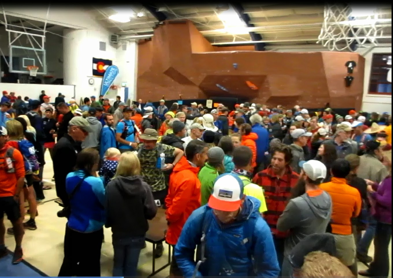
This is someone else's picture of the Telluride Aid Station but it is a pretty cool place.
